


Srinagar, July 30, 2026 : The Government of India has informed Parliament that the Indian Space Research Organisation (ISRO) is using advanced satellite and geospatial technologies to closely monitor glaciers, glacial lakes, avalanches, landslides, snowfall, water resources and other natural hazards across Ladakh, significantly strengthening disaster preparedness and climate resilience in the Union Territory.

The information was shared by Minister of State in the Prime Minister’s Office, Dr. Jitendra Singh, in a written reply to a question raised by Mohmad Haneefa in the Lok Sabha regarding the use of space technology for disaster management in Ladakh.
Key Highlights
🔹 2,000+ Glaciers Mapped
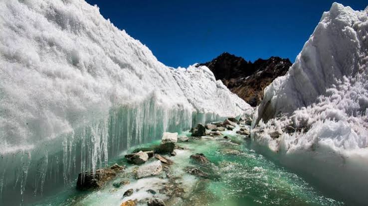
ISRO has created a comprehensive database of over 2,000 glaciers in Ladakh using satellite imagery collected between 2020 and 2023. The agency has also mapped changes in the extent of more than 1,000 glaciers over the past two decades to assess the impact of climate change.
🔹 3,219 Glacial Lakes Identified
Under the National Hydrology Project, an inventory of 3,219 glacial lakes larger than 0.25 hectares has been prepared. Detailed Glacial Lake Outburst Flood (GLOF) risk modelling has been conducted for high-risk lakes, including Katkar and Suru in Ladakh.
🔹 Daily Snow Cover Monitoring
ISRO has been carrying out daily satellite-based snow cover mapping across the Indian Himalayas, including Ladakh, from 2019 to September 2025, providing crucial data for water resource management and disaster forecasting.
🔹 Wetlands & Water Bodies Under Surveillance
In collaboration with the University of Jammu, ISRO has mapped 4,912 wetlands, while 41 major water bodies larger than five hectares are being regularly monitored through the Bhuvan Waterbody Information System.
🔹 Landslide Monitoring
The space agency is continuously updating Ladakh’s landslide inventory using satellite observations, helping authorities identify vulnerable regions and improve mitigation strategies.
Major ISRO Projects in Ladakh
ISRO has implemented several flagship initiatives over the last five years, including:
- Cryosphere Science and Applications Programme (CAP): Monitoring glaciers, snow cover and cryosphere dynamics.
- Ladakh Specific Modelling and Space Applications (LAMA): Delivering space-based weather forecasts, heavy rainfall alerts and hydrological simulations.
- Satellite Integrated Landslide Assessment and Alert System (SILAAS): Providing village-level landslide alerts since 2023.
National Hydrology Project (2017–2025)
The project includes:
- Glacial lake mapping
- GLOF risk assessment
- Snow-cover monitoring
- Evapotranspiration analysis
- Hydrological drought assessment
Geo-Ladakh Geoportal
ISRO has also developed the Geo-Ladakh Geoportal, a comprehensive geospatial platform containing data on:
- Natural resources
- Infrastructure
- Energy assets
- Administrative boundaries
The portal supports planning and decision-making for sustainable development in Ladakh.
Strengthening Disaster Preparedness
Dr. Jitendra Singh informed Parliament that ISRO is actively developing next-generation space-based early warning systems for:
- Glacial Lake Outburst Floods (GLOFs)
- Extreme weather events
- Landslides
The organisation also provides satellite-based information on floods, GLOFs and forest fires to the Ladakh administration during emergencies.
Under the Space-based Information Support for Decentralised Planning (SISDP) programme, ISRO has prepared detailed thematic maps covering land use, drainage, settlements, transport networks and terrain, all hosted on the Bhuvan-Panchayat platform to support local planning and disaster management.
Capacity Building
ISRO continues to organise training and capacity-building programmes to promote the use of space technology for sustainable development and disaster risk reduction, with officials and stakeholders from Ladakh regularly participating in these initiatives.
The Centre said these satellite-driven efforts are playing a vital role in enhancing environmental monitoring, disaster resilience and scientific planning in one of India’s most ecologically sensitive Himalayan regions.